NAGALAND
 Nagaland is a state in the far north east part of IndiainIndia.It
borders the state of Assam to the
west,Arunalchal Predesh and part of Assam
to the north, Myammar to the
east and Manipur to the
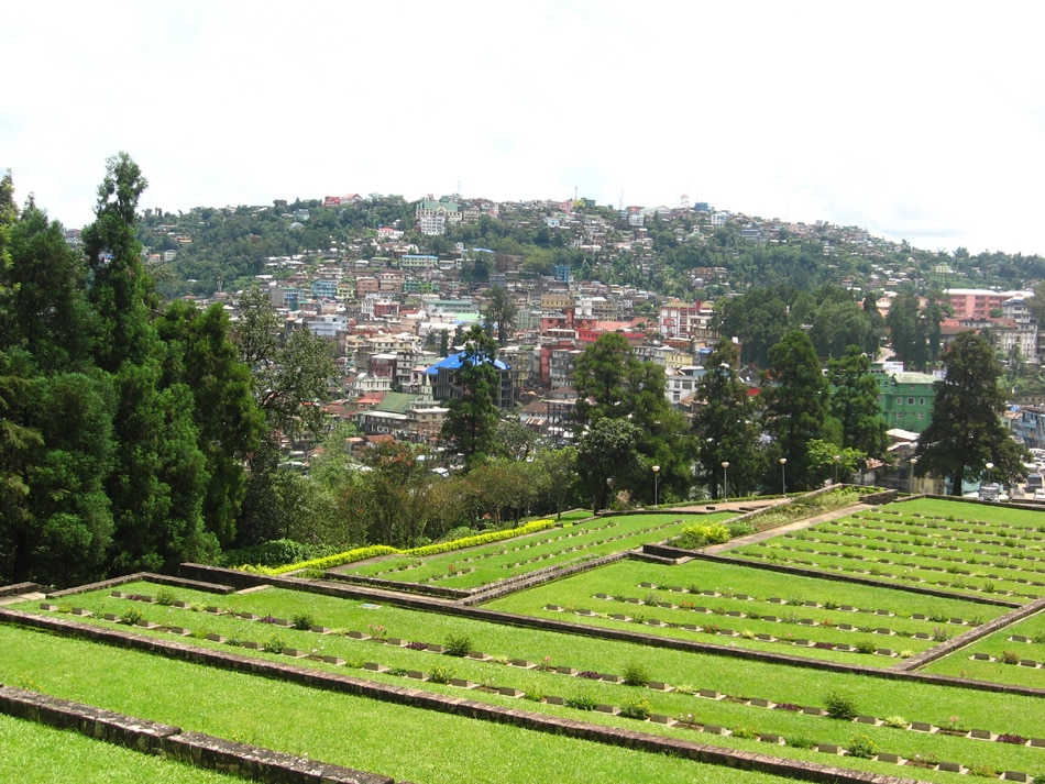
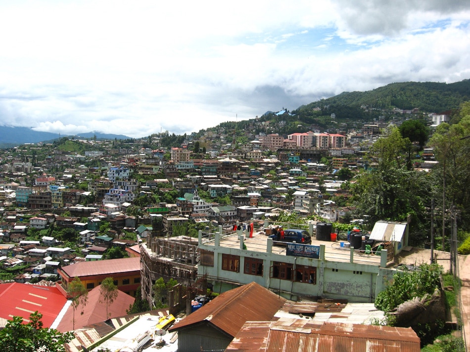
south. The state capital is Kohima and
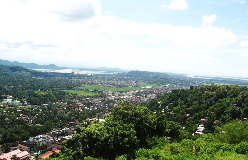
the largest city is Dimapur. It
has an area of 16,579 km2 with
a population of 1,980,602 (nineteen lakhs
eighty thousand six hundred two) as per the 2011 census, making it one of the
smallest states of India. The state is mostly mountainous except those areas
bordering Assam valley. Mount Saramati is
the highest peak with a height of 3,840 metres and its range forms a natural
barrier between Nagaland and Burma. It lies between the parallels of 98-degree
and 96-degree East Longitude and 26.6-degree and 27.4-degree latitude north of
the equator.
Nagaland is a state in the far north east part of IndiainIndia.It
borders the state of Assam to the
west,Arunalchal Predesh and part of Assam
to the north, Myammar to the
east and Manipur to the
south. The state capital is Kohima and
the largest city is Dimapur. It
has an area of 16,579 km2 with
a population of 1,980,602 (nineteen lakhs
eighty thousand six hundred two) as per the 2011 census, making it one of the
smallest states of India. The state is mostly mountainous except those areas
bordering Assam valley. Mount Saramati is
the highest peak with a height of 3,840 metres and its range forms a natural
barrier between Nagaland and Burma. It lies between the parallels of 98-degree
and 96-degree East Longitude and 26.6-degree and 27.4-degree latitude north of
the equator.
Nagaland was established on 1 December 1963 to be the 16th state of the Indian Union. It is divided into
eleven districts
Prof. John Kurakar


No comments:
Post a Comment